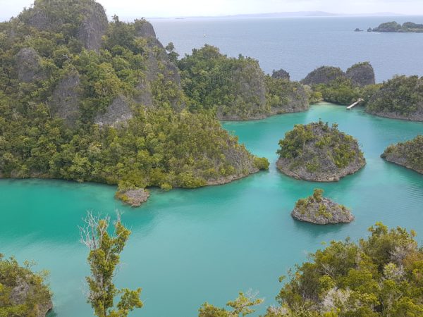
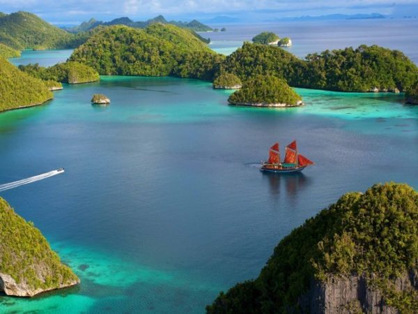
Taka Bonerate – small indonesian archipelago, clean enviroment, white sandy beaches, not far from Bira – Sulawesi.
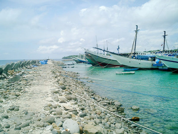
Takabonerate Eco-system on Taka Bonerate National Park Taka Bonerate National Park is set up to fulfill functions of protecting coral reefs, preserving marine biodiversity, and providing a sustainable utilization of living resources and their ecosystems. The Marine national park is arranged by coral reef and sea-grass ecosystems. The types of exiting ecosystems are being interaction constructing ecological process which is resulting a richness of marine life in the area. Three types of coral reefs exist in the national park namely barrier reefs, fringing reefs and atolls. On some spots, fringing reefs are signed by drop-off reefs. Emerging atolls on surface sea create many barren islands spreading over the area from north, called Macan Islands, to south, called Pasitallu Islands. Marine circumstances surrounding those islands are habitants which is, as if, producing unlimited fish resources. Coral reef ecosystems are dominant in the national park. There are 16 families and 231 coral species arrangement the ecosystems. Dominant coral reefs are Acroporidae, Fungidae, and Dendrophylladae Families. The existence of sea-grass consists of many species. Sea-grass ecosystems are habitats for various organism such as fishes and mollucs. Distribution of the sea-grass species depends on depth. There are ten species of sea-grass spreading over the park. Some dominant species are Thalastedron ciliata, Halophila ovalis, Cymodocea rotunda,and Enhalus acoroides. Features of the Taka Bonerate National Park Taka Bonerate is a Bugis’s name that somewhat has a meaning “ Coral pile up on sand“. It is well-known as the largest atoll in Southeast Asia. An un-continous ring of the atoll forms a complex of small sand islands distributing in the Flores Sea which is geographically located between 1200055′ – 121000’E and 6022′ – 704’S. An existence of the atoll is main consideration of the government to declare Taka Bonerate as a marine national park in 1992 by the Decree of Ministry of Forestry. Of twenty one islands, only are seven islands inhabited by Bajau and Bugis Ethnics. Most of islands have characteristics of white-san dominated by coconut tress, flat topography ( 0-3 % slopes ) with altitude maximum 2 metres above sea level, and size of the islands from 500 m to 1000 m wide and from 1000 m to 1500 m wide and from 1000 m to 1500 m long. There are no rivers or springs in all islands. Climate is being influence by west and east monsoon. West monson occurs from December to March, and east monsoon appears from July to September. Period between these two monsoons is called „Pancaroba“ ( between monsoons ). Temperature starts declining from May to August, and raising from september to December. These characteristics may be construct a drastic content of minimum fresh water in the islands. Culture of Society Taka Bonerate National Park There are 5.087 local people living in enclave of the national park distributed in 7 islands, namely Latondu ( 834 ), Rajuni kecil ( 1113 ), Rajuni Besar ( 400 ), Tarupa ( 944 ), Jinato ( 1097 ), Pasitallu Tengah ( 679 ), and Pasitallu Timur ( 527 ). Approximately fifty percent is Bajau Ethnic, 45 % is Bugis Ethnic and the remainder comes from Muna, Buton and Palue. For years, inhabitants have got a living through cultivating marine natural resources of various fish species such as Coral Grouper ( Cephalopholis miniata ) and Giant Grouper ( Epinephelus lanceolatus ) catched traditionally byhand lines. Still, some of them coperated with outsider fishermen conduct illegal fish harvests using of bomb and poison. Point of interest on Taka Bonerate National Park A Major value of the national park is an exiting of the largest atoll in Southeast Asia covering 220.000 ha where various coral reefs associate with many species of fishes, molluscs, turtles and echinoderms surrounding the atoll. A phenomenon of the atoll ceates a remarkable surface and shallow water scenery over the park. Visitors on the boat can enjoy distinctive color indicating clean and clear water, and thriving coral reef construction. We believe that the richness of marine nature biodiversity will encourage anyone who come in to the national park. Spending leisurely time to observe tremendous biodiversity, you can visit some places like Lantigiang, Sepe, and Bongko Islands designed for tourism activities such as diving and snorkeling. you can also visit some places like Gantarang, Lamungan, and Subu to see local fishermen who catch coral fishes by hand lines. Fishermen will spent hours solely on simple wooden boats. When dawn coming, silent situation make your spirit feel amazingly different. Visiting Taka Bonerate National Park, where the third largest atoll in the world exists, will be a worth wealthy experience in your lifetime Access to Taka Bonerate National Park Visitors who intend to go the national park should realize that a journey will need a lot of patience, time and self-sufficiency due to the remote area and undeveloping transportation. Starting in the morning at 07:00 am fom Makassar/UjungPandang ,visitors drive a public transportation in Malengkeri Bus Station for about 9 hours to Benteng, including 2 ( two ) hours to take across the Selayar strait by Ferry from Bira harbour in Bulukumba to Pamatata harbour in Selayar before continuing drive to Benteng for 2 ( two ) hours. Normally you will arrive in Benteng around 05:00 pm. You can even make your own choice whether having your own private rented-fully air-conditoned bus or car . If you rent a car from Makassar/UjungPandang, you will save time about 1 hour or more. Or you may need to have a designed package tours. Ferry from Bira Harbour to Pamatata harbour leaves daily at 2 p.m. Visitors are advised to overnight in Benteng and in the following morning from Benteng to the Nationap Park, visitors sails about 7 ( seven ) hours by unregular transportation of wooden boats. Visitors can choose an alternative route by continuing drive to Apatna, a place in the south tip of Selayar island. From Apatana to the National Park, visitors need about 4 hours by a wooden boat. Tinabo island Tinabo, a small white-sandy uninhabitant island of 30 ha, is located in teh northside of the national park. it is about 45 minutes from Rajuni Kecil to the east by a wooden boat. The island is surrounded by shallow clear sea with existing of smooth slope fringing reefs in northern part and drop-off frining reefs in western part emerging a beautiful scenery in the morning. Tinabo island is set up as visitor center of national park.